-
Hashtag= #waterfromspace
Background
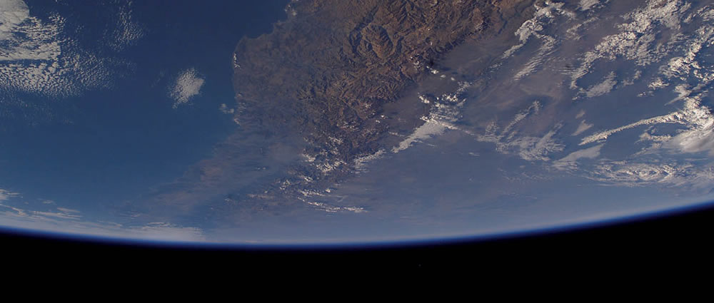
Water management and climate change are broad regional issues in South America with important implications for industrial activities, indigenous communities, as well as flora and fauna.
This challenge seeks to enable macroscopic, or large scale, analysis of water resource conditions throughout the altiplano of Chile.
Challenge Description
Create a web map of Chile water resources, showing how they have changed over time and how their changes over time relate to changes in climate.
Functional Specifications
Use historic satellite imagery as the base layer for the map and overlay water resources, salars (salt flats), and other related features.
Allow the user to switch between time period to see how these features have changed over time.
Bring in precipitation data, which is also tied to time, and show how the changes in water resources are correlated to changes in precipitation (i.e, water resources have larger extents in years with heavy rain).
Datasets
-
OpenStreetMaps
http://OpenStreetMap.orgOpen Source Map Data
-
Satellite Geodata Discussions
http://mapbox.com/blog/archive/Details on working with Satellite Data
-
Precipitation - TRMM
http://pps.gsfc.nasa.gov/3GRetrieve/?directory=/pub/3GRetrieve/3G68QuarterDegreeThe TRMM dataset is commonly used - this has ~0.25 degrees resolution and a spatial coverage of 50 degrees North to 50 degrees South. The data is available from 1997 to now, and gives a measure of the rainfall rate (mm/day).
-
Precipitation - GPCP
http://www1.ncdc.noaa.gov/pub/data/gpcp/1dd-v1.1/This is at 1 degree resolution. More info at http://www.gewex.org/gpcpdata.htm
-
GLC-2000
http://bioval.jrc.ec.europa.eu/products/glc2000/products.phpGlobal Land Cover 2000
-
MODIS
http://modis.gsfc.nasa.gov/500m / 250m
-
GlobCover
-
CORINE
-
Landsat
http://landsat.usgs.gov/For Landsat, you will need to classify the images first if you use the raw data (freely available) - a new Chinese Landsat-based land cover should map now be available to download (30m and 250 m resolution).
Create Project Solving this Challenge
Need help?
Check out the comments to chat with other users working on this challenge or email the challenge creator with any questions.
-
-
The following projects are solving this challenge:
-
Spacewater
This project creates a web of map Chile resources, delineating the changes of water resources in timeline and relates to changes in climate.The website may be useful for the scientists,researchers,environmentalists,and students of Environmental Science about the history of water resources of Chi... Visit Project
-
Seeing Water From Space for Colombia
Esta aplicación estaba pensada para el estudio de los recurso hidrográficos de Chile, dependiendo de los cambios climáticos y otros factores que afecten estos recurso, en Colombia existe mucho recurso hidrografico y que mejor oportunidad para realizar una herramienta la cual permita a los entes ... Visit Project
-
WaterLapse
Purpose: Create an animated visualization about the evolution of the water bodies in the altiplano of Chile in the last 100 years. Like [this animation](http://www.climatecentral.org/blogs/131-years-of-global-warming-in-26-seconds/) "Plan": * Understand the available data about water ... Visit Project
-
Seeing Water From Space
Loading...
×
Loading...
×