-
Background:
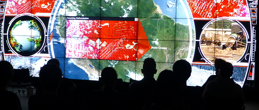
The use of satellite images and maps is increasingly common in our lives thanks to widespread web services like Google Maps. However, for various reasons, ranging from security issues to cloud cover, not all the locations on the planet have satellite coverage.
There are still many places on Earth on which we don’t have satellite images or for which there is an untapped demand for more satellite-based information. Knowing where these gaps are, so that there is “seamless” coverage, would be excellent.
Challenge Description:
The Satellite Applications Catapult challenge is to find a solution to promote and help worldwide users to spot world locations not covered by satellite images and to formulate requests for satellite images and related information on certain locations.
How do we get more users to be involved into the continuous Earth Observation discovery? How do we collect and organize requests for acquisition and display of satellite images of a certain location with specific data (e.g. road conditions, weather conditions, vegetation and animal population, etc.)?
The challenge consists can be broken down in two sub-challenges:
1. Develop a crowd-sourced preferential pointing of satellites, based on demand
2. Help to fill gaps in Earth Observation and image databases.
Functional Specifications:
The optimum solution will be easy-to-use, easy-to-access for the broadest possible user-population.
It is important that the solution can help to spot Earth locations that are not covered by publicly available satellite map services, and to promote, collect and structure the demand for satellite-based information.
These requests should be linked to the world organizations (NASA, ESA, Satellite Applications Catapult), which are involved in Earth Observations studies.
The solution can involve smartphones, web-based software, social media channels and any other tool or platform if you think it can play a role in getting more people involved in Earth Observation.
Datasets
-
Google project to update geo info on Google Maps and Google Earth: Map Maker
-
Locations not displayed on Google Maps (Wikipedia):
-
ESA
-
NASA Visible Earth
-
Earth from Space
-
USGS Global Visualization
-
*Video overview of Challenge*
Create Project Solving this Challenge
Need help?
Check out the comments to chat with other users working on this challenge or email the challenge creator with any questions.
-
-
The following projects are solving this challenge:
-
Crowd sourced Earth Observation
A crowd sourced project which contributes to accumulation of visual data from across the world. Mostly focusing on unexplored regions.The collection of data will involve simple methods that a layman can implement to gather data. My Idea involves forming communities in various parts of the glob... Visit Project
-
ImageColony
A comprehensive web application is designed and developed to respond to this challenge. The idea is to allow users to navigate between Google and Bing satellite views, select a spot on map where the satelitte imagery is missed or blurred and then fill up a simple form to identify the requirement... Visit Project
-
MapGap
A webapp where users can select a location where satelite imagery data is missing and report, thus crowdsourcing the demand data for agencies and vendors to take up. Written using Ruby, Sinatra, MongoDB and hosted on GitHub + Heroku. Visit Project
-
More Earth Observation
Loading...
×
Loading...
×